Briefing
Pilot Mountain Mystery: The Lights Over North Carolina's Peak
Executive Summary
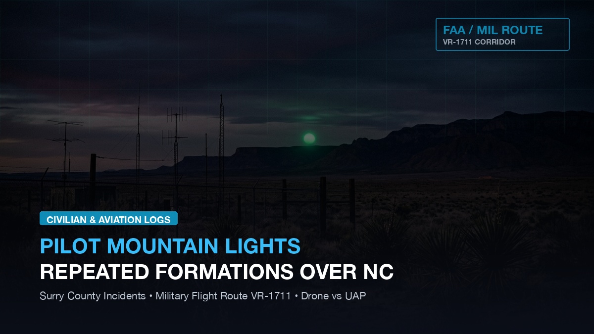
Surry County, North Carolina has become the focus of intense civilian and aviation investigation following recurring reports of synchronized amber and white light formations hovering over the prominent quartz-monadnock peak of Pilot Mountain. The mountain rises more than 1,400 feet above the surrounding piedmont plateau and sits directly beneath military visual route VR-1711—a low-altitude, high-speed tactical training corridor. We examine pilot radio transcripts, FAA radar data, and military airspace schedules to separate commercial drone swarms and geological luminescence from genuine airborne anomalies.
Investigating repeated aerial light formations over North Carolina’s Pilot Mountain
North Carolina has a storied history of nocturnal light phenomena, most notably the legendary Brown Mountain Lights 70 miles to the west. However, the recent Pilot Mountain sightings feature modern digital video captures, multi-witness triangulation from highway patrol officers, and civil aviation tracking that rule out traditional campfire refractions or locomotive headlights.
The Visual Sightings: Synchronized Geometry Over the Knob
The encounters typically occur during clear, low-wind nocturnal hours, observed from surrounding vantage points along US Route 52 and the state park overlook.
- Witnesses describe three to six brilliant amber-gold spheres maintaining rigid triangular and diamond formations 500 feet directly above the mountain’s rocky pinnacle ("The Knob").
- Unlike consumer drones that emit high-pitched motor whine and flash mandatory red/green FAA anticollision strobes, the lights operate in total silence and maintain a solid, non-pulsing luminous output.
- The lights have been recorded executing instantaneous linear reconfigurations—rearranging from a vertical column into a horizontal row in fractions of a second.
The Military Corridor: Visual Route VR-1711
A critical factor in evaluating the Pilot Mountain reports is the presence of designated military airspace overhead.
- VR-1711 is a published Department of Defense low-altitude military training route used by C-130 Hercules transport crews from Pope Army Airfield and F-15E Strike Eagles from Seymour Johnson AFB.
- Military pilots operating on VR routes are cleared to fly at speeds exceeding 250 knots below 10,000 feet, frequently using topographical landmarks like Pilot Mountain for navigation reference.
- Public affairs liaisons from regional military bases confirmed that no classified nocturnal drone testing or flare drops were scheduled on the nights of the most prominent cluster sightings.
FAA Radar and En-Route Automation Filtering
When civilian observers alerted local law enforcement, regional air traffic control facilities at Greensboro (GSO) and Atlanta Center were contacted.
- Standard terminal radar displays showed no cooperative transponder targets (squawking 1200 or military IFF) in the immediate airspace above the peak.
- Air traffic controllers noted that stationary or slow-drifting objects lacking transponders are automatically filtered out by ERAM software algorithms as ground clutter.
- General aviation pilots cruising over the sector confirmed seeing visual luminous objects below their flight altitude that did not register on cockpit traffic awareness systems (TCAS / ADS-B In).
Evaluating Explanations: Drones, Geology, or Anomalies
Rigorous investigation requires systematically testing conventional hypotheses before asserting exotic conclusions.
- Commercial Drone Swarms: Advanced commercial light-show drones can fly coordinated GPS patterns, but they require FAA waivers and localized base stations, neither of which were registered in Surry County during the events.
- Piezoelectric / Geological Stress: While quartz-rich formations can theoretically produce triboluminescent glow during tectonic stress, the high-altitude hovering geometry and rapid repositioning point to an airborne vehicle.
- Unresolved Status: The incidents remain classified as unresolved civilian aerial phenomena, warranting continuous automated camera and optical spectrum monitoring.
Key takeaways from the Pilot Mountain aerial encounter logs
- Multiple independent witnesses and law enforcement officers have documented silent, synchronized light formations over Pilot Mountain, NC.
- The peak sits directly beneath military training corridor VR-1711, but military officials confirmed no tests or flares were deployed.
- The absence of transponders explains why standard civilian ATC radar displays filtered out the hovering objects.
- The case highlights the challenge of separating advanced unauthorized drone swarms from persistent anomalous aerial phenomena.
Read next
- FAA radar secrets briefing - why air traffic control radar systems filter out untransponded lights
- Pilot encounters briefing - what military aviators experience during low-altitude domestic flights
- FBI black triangle dossier - law enforcement witness debriefs of silent hovering craft
- Geospatial radar map - explore incident clusters along the East Coast flight corridor
How to cross-reference civilian sighting reports with military low-altitude training routes
The strongest reading starts with the primary record, then follows the supporting documents, dates, agency labels, and public statements around it. When commentary or reporting adds context, it is weighed against the source record instead of being treated as the record itself.